
Thickness of sea ice in the Arctic Ocean measured in the Fram Strait
Last updated 16 March 2026
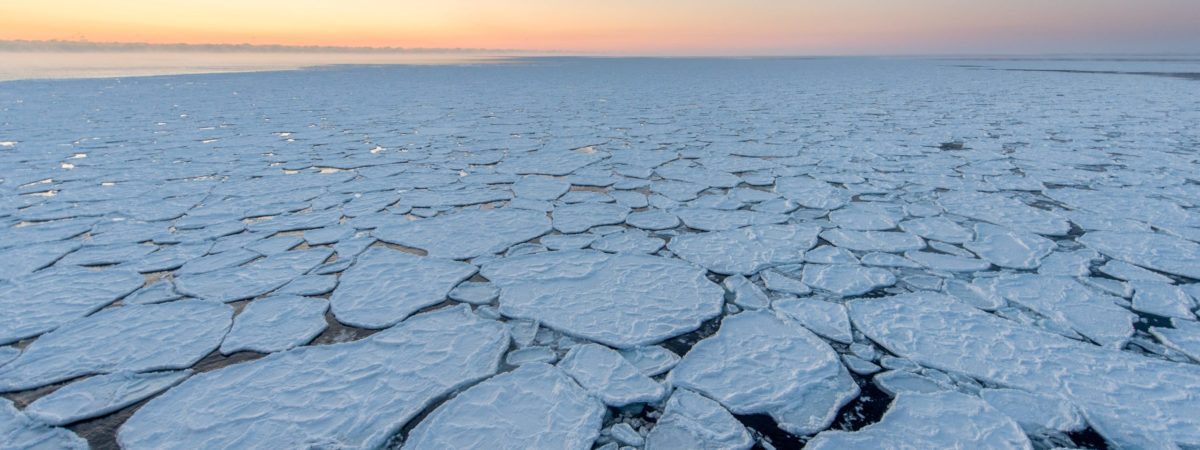
The ice cover in the Arctic Ocean is a vital factor for the climate both globally and in the Arctic, and it also sets important limits for the ecosystems in the Arctic. Most of the ice leaving the Arctic Ocean does so through the Fram Strait, as a relatively even flow. Investigations and mapping suggest that measuring the thickness of the ice in this flow will give figures for its thickness and condition that are representative for large parts of the Arctic Ocean.
What is being monitored?
Thickness of the ice in the Fram Strait
The figure shows the observed thickness of sea ice that is exported from the Arctic Ocean. The line shows the mean observed sea ice thickness from the Arctic Ocean measured by upward-looking sonar in the East Greenland Current. The figure shows large variations in thickness, but both variation and thickness have decreased in recent years. This indicates that the sea ice in the Arctic Ocean has become more homogeneous and thinner. One-year ice is thinner than two-year- and perennial ice. Perennial ice is more deformed and due to pressure ridges it is more variable in thickness. The measurements in the Fram Strait confirms that the sea ice is transforming to a sea ice system with a prevalence of younger ice types.
(Cite these data: Norwegian Polar Institute (2026). Thickness of sea ice measured in the Fram Strait. Environmental monitoring of Svalbard and Jan Mayen (MOSJ). URL: https://mosj.no/en/climate/ocean/sea-ice-thickness-arctic-ocean-fram-strait.html)
Details on these data
| Last updated | 16 March 2026 |
| Update interval | Yearly |
| Next update | March 2027 |
| Executive organization | Norwegian Polar Institute |
| Contact persons | Dmitry Divine |
Method
The monitoring is done by underwater rigs in a section in the western Fram Strait, which continuously measures the thickness of the ice that drifts across. The observations are made with upward-looking sonar (ULS). The pressure and the time it takes for the sound from the sonar to pass to the ice, be reflected and return are measured. The distance to the bottom of the ice can be measured using knowledge about the velocity of sound. The pressure measurements give the depth of the instrument, thus enabling the gauge of the ice to be calculated. An empirical conversion factor gives the thickness of the ice.
Four instruments are located across the outflow to give as representative a picture of the ice flow as possible. The instruments are attached to sub-surface ocean moorings at a latitude of 78°50’N. Instruments are replaced and data downloaded during annual research cruises. The observed ice thickness in the figure above comes from mooring F13 at 5°W. Data from September 2014 to August 2015 are from ULS at mooring F14 at 6°30’W.
Quality
The measurements are fairly precise, having a precision of about 5cm. The greatest limitation of the method lies in the drift pattern of the ice before it ultimately exits the Arctic Ocean via the Fram Strait. The ice is constantly moving, and different areas of the Arctic Ocean have different typical ice thicknesses depending on wind patterns and proximity to land. When we compare ice thicknesses observed in different years, as when we put a time series together, for example, we must be certain we are comparing ice coming from the same area. This is done by calculating the former location of the ice with the help of drift data from satellite measurements.
Status and trend
Our data show that the average ice thickness remained relatively constant through the 1990s, even though there was already a reduction in the extent of the ice. However, there proves to have been a large loss of perennial ice since 2005. The typical thickness of perennial ice in winter dropped from ca 3.4 metres on average in the 1990s to ca 2.2 metres in the winters from 2005 to 2011. This is a 38% reduction, and concerns the whole season. From 2015, we see that ice thickness in August-September has become thinner than before, all the way down to 1.1 metres. During the winter of 2020 anomalously positive phase of Arctic Oscillation caused a higher-than-normal sea ice formation and dynamical thickening north of the Barents Sea and north of Greenland. This thicker sea ice drifted out of the Arctic via Fram Strait later in March to June 2020 and seasonal ice thickness returned to its normal low typical for the last decade.
The extent of the sea ice has been monitored by satellites for more than 30 years, and these results have clearly shown its significant reduction.
Data on ice thickness are important because they can tell us how vulnerable the ice is for melting and how it can function as a habitat in the ecosystems. However, as it has been impossible to monitor the thickness by satellite, we lack the direct measurements we have for the extent of the sea ice.
An important objective in monitoring the ice thickness in the Fram Strait is therefore to acquire monitoring data for the general thickness of ice in the Arctic Ocean.
The monitoring is done using buoys moored under the surface along a profile across the Fram Strait. These buoys continuously measure the thickness of the ice drifting over them. (The gaps in the data coverage are due to lack of funding to have all the data processed and quality assured, and these gaps will gradually be filled as the necessary funding becomes available.)
In the course of a year, ice of varying thickness drifts past, ranging from 10–50 cm up to 20–30 metre-thick pressure ridges. Some is first-year ice, formed in the current season, and some is perennial ice, ice that has survived several seasons. The distribution of the ice thicknesses clearly demonstrates differences between first-year and perennial ice. The significant year-to-year variations are seasonal variations caused by wind, screwing, freezing and melting.
Causal factors
In addition to general warming in the Arctic, one reason for the loss of perennial ice is that the predominant wind pattern has changed so that more of the ice north of Greenland has drifted out of the Arctic Ocean. Historically, it is in this area that most perennial ice has been observed. Satellite images show that much of this ice has now disappeared and that the greatest change indeed occurred in 2005.
Owing to the gap in the data coverage between 1998 and 2004, it is not clear whether the reduction in ice thickness started before 2005. However, it is very interesting that the greatest loss took place before September 2007 and 2012, the times when the least extent of the ice cover in modern times was observed.
This means that the reduction in thickness took place before the reduction in extent and that the former was most likely a contributory factor for the reduced extent in the succeeding melting seasons. A possible connection is that it is easier to move thinner ice around, so that more and more of the ice is transported by wind out through the Fram Strait. This effect will come in addition to melting that occurs due to changes in the radiation balance and higher air and sea temperatures.
Work is going on to determine the role played by the factors which apparently lie behind the loss of the ice cover in the Arctic. This detailed and, in time, highly resolved time series of thicknesses will be a most important contribution to this work.
Consequences
A reduction in the thickness sea ice will be negative for both ecosystems and the climate system. Younger, thinner ice melts faster and hence reacts faster to higher water and air temperatures, providing escalating melting and formation of melt pounds on the ice.
For the climate system, this gives a decreased area of white, reflecting surface, giving a feedback mechanism of further warming as less solar energy is reflected.
The ecosystems are affected both directly, by the sea ice as habitat gets less stabile when there is no perennial ice, and indirectly, as the habitats’ areas and availability are reduced.
About the monitoring
Studies over several years have indicated that the Arctic Ocean sea ice is getting thinner and the robust perennial ice is decreasing. Sea ice drifts out of the Arctic Ocean through the Fram Strait on an extension of the Transpolar Drift. The thickness of the sea ice can therefore be measured in this area.
The Norwegian Polar Institute has been measuring the thickness of the sea ice drifting through the Fram Strait since 1990.
Places and areas
Relations to other monitoring
Monitoring programme
International environmental agreements
- None
Voluntary international cooperation
- None
Related monitoring
- None
Further reading
Publications
- Hansen, E., Gerland, S., Granskog, M.A., Pavlova, O., Renner, A.H.H., Haapala, J., Løyning, T.B., & Tschudi, M. (2013). Thinning of Arctic sea ice observed in Fram Strait: 1990-2011. Journal of Geophysical Research: Oceans 118(10): 5202–5221. https://doi.org/10.1002/jgrc.20393
- Hansen, E., Ekeberg, O.-C., Gerland, S., Pavlova, O., Spreen, G., & Tschudi, M. (2014). Variability in categories of Arctic sea ice in Fram Strait. Journal of Geophysical Research: Oceans 119(10): 7175–7189. https://doi.org/10.1002/2014JC010048
- Hansen, E., Gerland, S., Høyland, K.V., Pavlova, O., & Spreen, G. (2015). Time variability in the annual cycle of sea ice thickness in the Transpolar Drift. Journal of Geophysical Research: Oceans 120(12): 8135–8150. https://doi.org/10.1002/2015JC011102
- Spreen, G., de Steur, L., Divine, D., Gerland, S., Hansen, E., & Kwok, R. (2020). Arctic Sea Ice Volume Export through Fram Strait from 1992 to 2014. Journal of Geophysical Research: Oceans, 125(6), e2019JC016039.https://doi.org/10.1029/2019JC016039
- Sumata, H., de Steur, L., Gerland, S., Divine, D., & Pavlova, O. (2022). Unprecedented decline of Arctic sea ice outflow in 2018. Nature Communications 13(1), 1747. https://doi.org/10.1038/s41467-022-29470-7